Services
We provide a full range of services that help you do your job. Consultations, GIS and Data Driven Modeling, Fuel and Prediction Behavior, Training, Incident Command Team Support, and Online 3D Mapping.

Drone Sales & Training
Our team is familiar with industry leading drone technology along with partnerships with manufactures. We help you decide on what vehicle best fits your needs and proved the necessary training to get you going.

GIS and Realtime Mapping
Geographic Information and Spatial Data has allowed industries to enhance the way they do business. Our mapping staff has the technical advantage to help you make informed decisions backed with data driven visuals. Let us help you develop the right deep learning platform to understand spatial and analytical data.
Incident Command Support
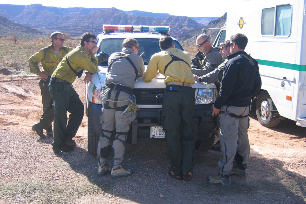
Our team has years of experience supporting incidents. We have the knowledge in deploying technology and drones on both small and large incidents. We have worked with several agencies. Including; State, County, City, Federal, and Department of Defense.

UAS Consulting
Setting up a Unmanned Aerial System for agencies can be difficult. Let us help understand your company/agency in determining what you need. We help support policy making, and standard operating procedures.